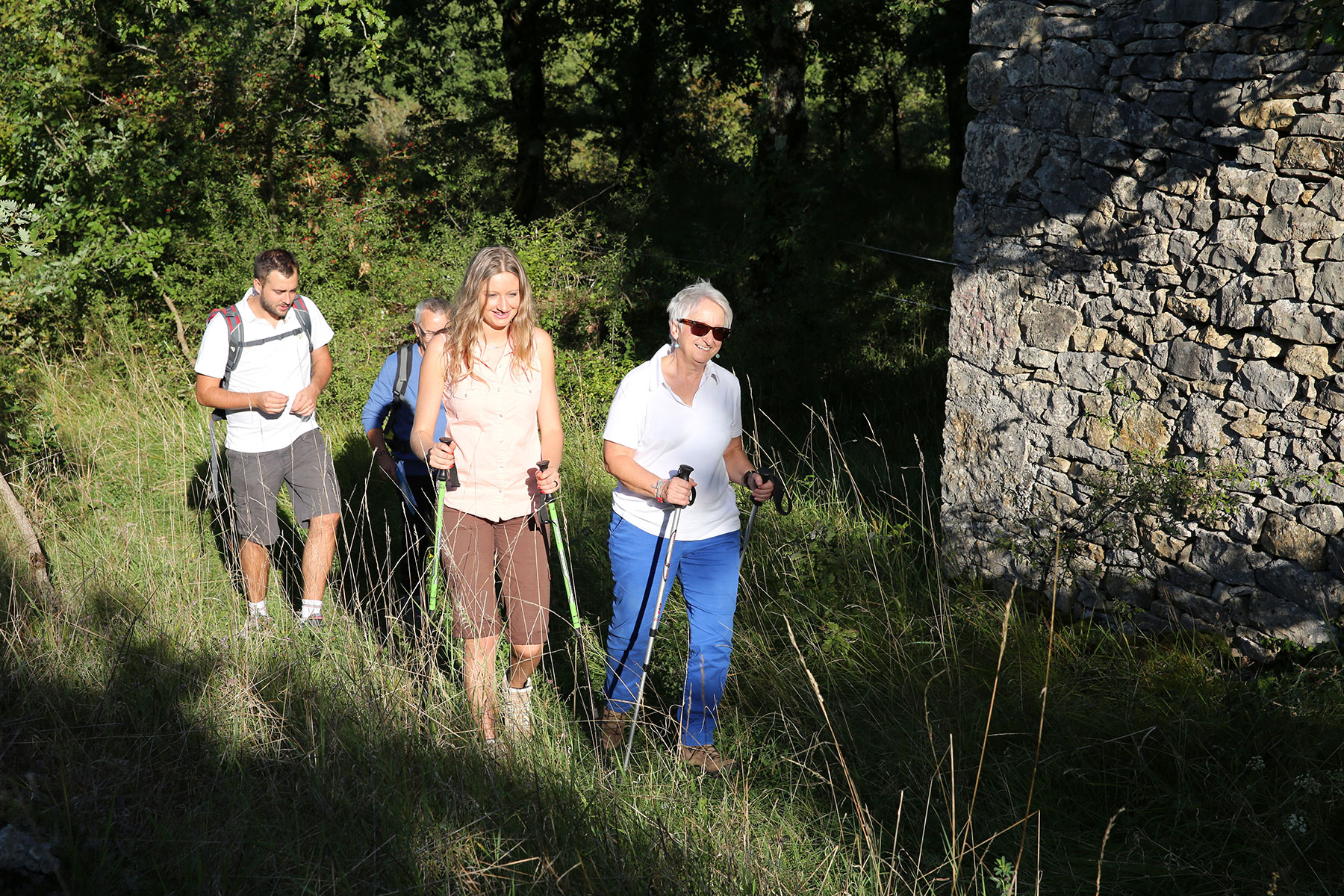
Whether you're more of a wanderer than a professional, our trails will take you to incredible panoramas and charming villages. Discover the hiking trails around Najac, Villefranche-de-Rouergue, and Villeneuve.
To live a beautiful natural history, here are some simple gestures to respect during your walks
- Let's stay on the trails and be discreet.
- Let's not make a fire and collect our waste.
- Close the fences and gates.
- Respect protected areas.
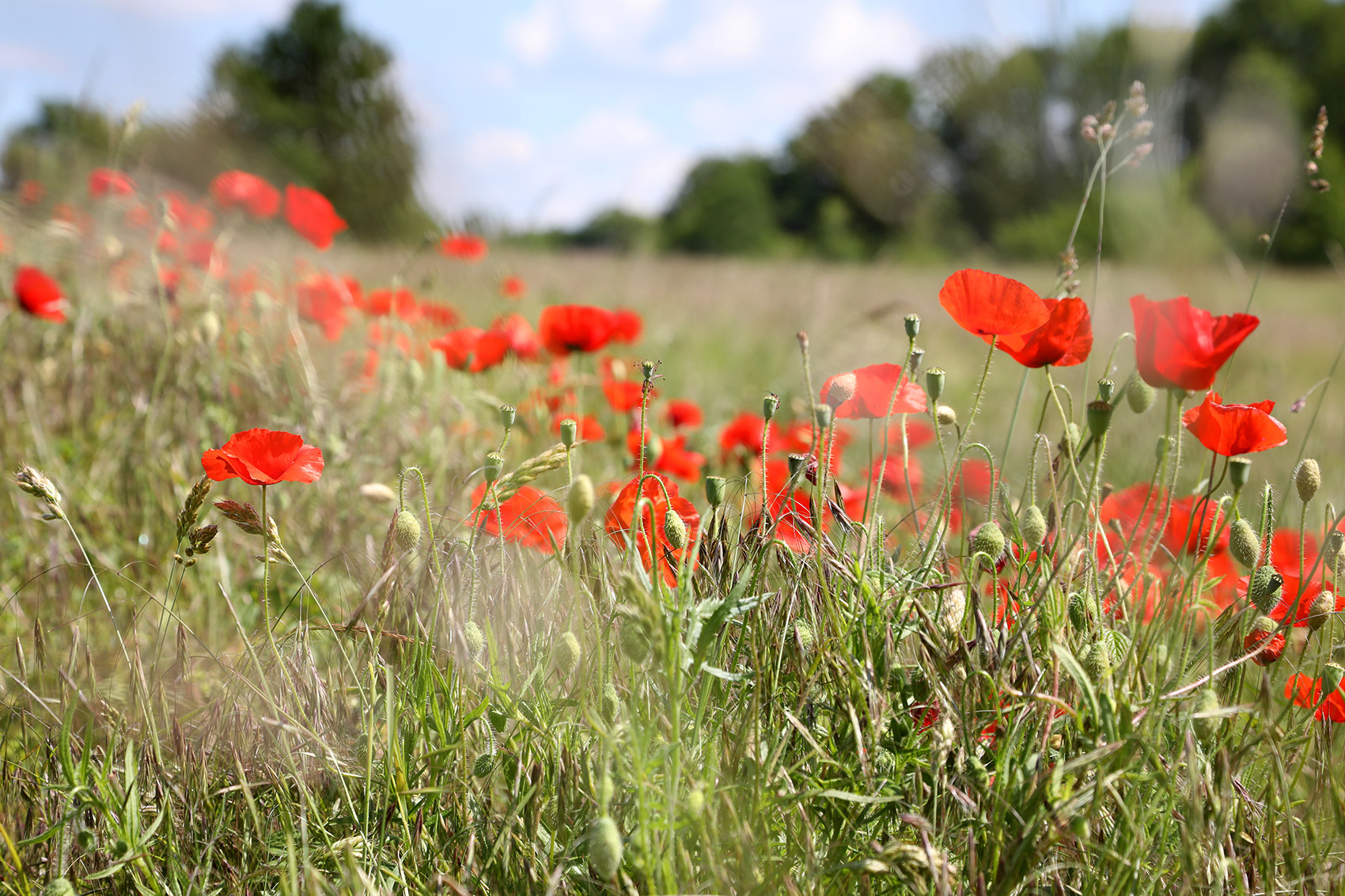
- Let the flowers grow.
Perfectly designed circuits for a 100% enjoyable ride
We've thought of everything to make your hike a pure joy from start to finish. These tours have been carefully selected to offer you the best of the destination.
1 to 21 results of 25
Share your search
The link has been copied to your clipboard.
Refine your search
Filters
-
-
Bannac Lake -
Walk to Lake Bannac -
Artistic journey -
Sculpture by Pierre Lehmann -
Sculpture by Pierre Lehmann
See the route
-
-
- 50 D +
- -50D-
- 3,9 km
- VILLENEUVE
Recommended by the tourist office-
Landscape -
Child and dolmen -
Dolmen -
Walking along the trail -
Causse Trail
See the route
-
- 57 D +
- -57D-
- 10,7 km
- LARAMIÈRE
Recommended by the tourist office-
Peyro Levado -
Peyro Levado -
Dolmen access -
Cloup Lestang water point -
Cloup-Lestang water point
See the route
-
- 462 D +
- -462D-
- 9,4 km
- VILLEFRANCHE-DE-ROUERGUE
Recommended by the tourist office-
Viewpoint from the Calvary overlooking Villefarnche -
Old Roman road -
Chapel of the Holy Sepulchre -
View of Villefranche -
Chapel of the Holy Sepulchre
See the route
-
- 481 D +
- -529D-
- 16,3 km
- NAJAC
Recommended by the tourist office-
Point of view on Najac -
View of Najac -
Towards Laguépie on the GR36 -
Hiker climbing towards Najac -
Saint Martin Laguépie Castle
See the route
-
- 594 D +
- -505D-
- 23,4 km
- VILLEFRANCHE-DE-ROUERGUE
Recommended by the tourist office
Stage Villefranche de Rouergue – Najac – GR®36 – Path from Conques to Toulouse See the route
-
-
Najac -
Hiking along the banks of the Aveyron -
Hiking along the banks of the Aveyron
See the route
-
-
-
Path through the undergrowth -
Bannac Lake -
Picnic area at the La Miquelie wash house -
Walk to Lake Bannac -
Path through the woods
See the route
-
-
-
Priory of Laramière -
View of the priory from the ephemeral Rausel lake -
Cousis farm pond -
Ephemeral Lake of Rausel -
Church of Laramière
See the route
-
-
- 90 D +
- -90D-
- 8,7 km
- VILLENEUVE
Recommended by the tourist office-
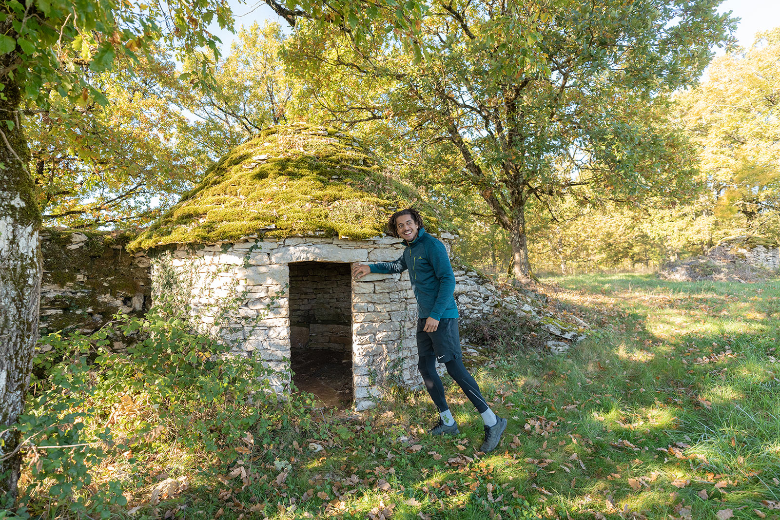
The caselles of Villeneuve d'Aveyron -
Path of the huts -
Mas de Treille Well -
Caselle on the way -
View of the path
See the route
-
- 304 D +
- -308D-
- 13,7 km
- LA CAPELLE-BALAGUIER
Recommended by the tourist office-
Les Mas du Causse Circuit -
Village of La Capelle – Balaguier -
Les Mas du Causse Circuit -
Les Mas du Causse Circuit
See the route
-
- 203 D +
- -334D-
- 12,5 km
- PEYRUSSE-LE-ROC
Recommended by the tourist office-
On the way along the path on the Causse -
On the Way of St. James -
Caselle on the Causse -
Path around Salles-Courbatiès -
Path around Salles-Courbatiès
See the route
-
- 489 D +
- -489D-
- 9,1 km
- BOR-ET-BAR
Recommended by the tourist office-
Photo 1 -
Photo 2 -
Photo 3 -
On the banks of the Viaur -
The banks of the Viaur
See the route
-
- 155 D +
- -58D-
- 8,1 km
- SALLES-COURBATIÈS
Recommended by the tourist office-
On the Way from Conques to Toulouse -
pigeon loft -
Salles-Courbatiers -
Wooden market hall of Salles-Courbatiers -
Path to the Toulonjac marsh
See the route
-
- 159 D +
- -159D-
- 11,3 km
- VILLENEUVE
Recommended by the tourist office
Circuit of the sources of the Diège – Villeneuve See the route
-
- 111 D +
- -111D-
- 3,7 km
- LA ROUQUETTE
Recommended by the tourist office-
View of La Rouquette -
Castle Tower -
View of the village of La Rouquette -
Starting point of the ENS trail -
Games at the La Rouquette playground
See the route
-
- 16 D +
- -16D-
- 1,6 km
- MARTIEL
Recommended by the tourist office-
Family at the dolmens of Martiel -
Dolmen -
Walk to the dolmens of Martiels -
Discovery of a dolmen -
Family walk
See the route
-
- 19 D +
- -19D-
- 1,2 km
- MORLHON-LE-HAUT
Recommended by the tourist office-
Lake Morlhon Le Haut -
The Aveyron beach hut
See the route
-
- 536 D +
- -489D-
- 16,3 km
- LAGUÉPIE
Recommended by the tourist office-
Point of view on Najac -
Saint Martin Laguépie Castle -
Path on the GR®36 -
Banks of the Aveyron -
Royal Fortress of Najac
See the route
-
- 133 D +
- -133D-
- 4,3 km
- VILLEFRANCHE-DE-ROUERGUE
Recommended by the tourist office
Calvary walk – Villefranche-de-Rouergue See the route
-
- 33 D +
- -33D-
- 4,0 km
- SALLES-COURBATIÈS
Recommended by the tourist office-
Prade reedbed Marais de Montaris -
Hikers near the Gargantua Hole -
Guided tour with Rémy Garrigou -
Diège springs reedbed -
Sources of the Diège
See the route
How are these hiking trails selected?
We made this selection based on several criteria:
- Landscapes and heritage worth the detour – Because walking for the sake of walking is nice, but walking with a breathtaking view is even better!
- Maintained trails and markings – You move forward calmly, just enjoying the moment.
- Safety first – Less than 30% road, to fully enjoy nature.
So, are you ready to put on your sneakers and get started?
Have you tried them all? Discover even more circuits!
Have you already explored our favorite trails and are looking for more? Good news: the adventure doesn't stop there! Even more routes to discover, to vary the pleasures and the landscapes.
Help us preserve practice spaces by sharing your GPS tracks.
By sharing your GPS tracks – and only your GPS tracks – you contribute to a better knowledge of outdoor sports and to the preservation of your practice sites.
A guided hike or walk? It's possible!
Explore your destination with our experienced guides! Hiking leaders, nature enthusiasts, and flora and fauna experts will share their knowledge and stories with you, making each walk or hike even more enriching.
What are the most beautiful hikes in the Aveyron Gorges?
This way to make the most of the landscapes of the Aveyron gorges: here
What are the waterfront hikes?
Because there's nothing better than a little bit of fresh air after a nice walk! 👉 Waterfront hikes
Which hiking app?
We may love adventure, but it's always good to know where we're going! Download the app Cirkwi and follow your progress on the route.
What are the most family-friendly hikes?
This way for walks where even little calves will keep smiling! 👉 Family hikes
Where to report a problem on a trail?
"Suricate", the app that keeps an eye on things! A tree across the path? A trail marker that's been erased? Just report it, and we'll take care of the rest!
On a hike: landscapes to admire!
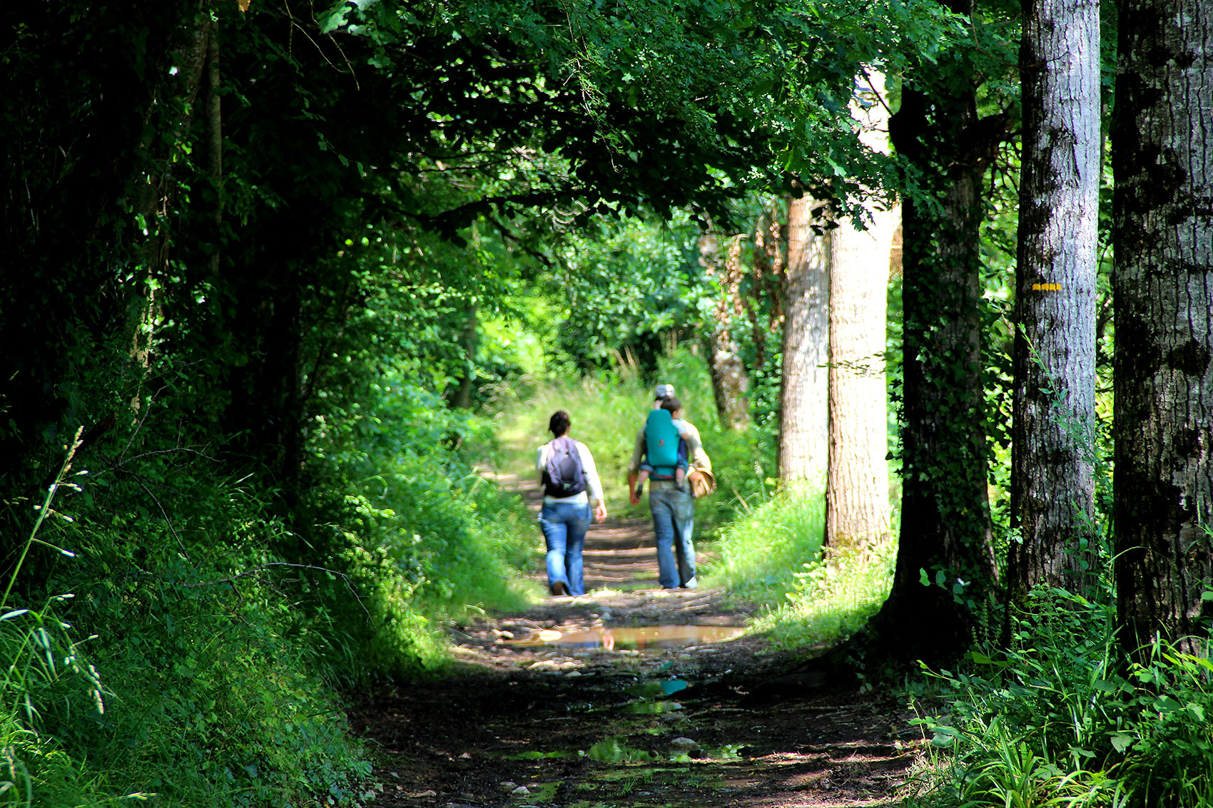
Departing from Villefranche, Villeneuve and Najac, discover scenery varied… Wild gorges, colorful valley, Causse plateau and oak forests… so many landscapes to admire!
You like them large natural spaces ? Do you prefer beautiful stones? Here, no need to choose! On our tours, explore villages of character and the nature that surrounds them.
Observe Sensitive Natural Areas of Aveyron, their delicate flora and wildlife. Discover the Montaris marshes, the Borie moor and the lower Viaur valley… Take the discovery trails that have been laid out and marked out, with interpretive signage.
You are quite…
Did you find this page useful?
Thank you
Thank you for taking the time to let us know that this content was helpful to you. Your encouragement is essential to us, and your feedback allows us to improve.
Thank you
Thank you for taking the time to let us know that this content was not helpful to you. We're sorry about that. In order to enable us to improve, can you tell us to what extent we can correct or complete the information provided?
Share this content
Share this content
Recently viewed
- 133 D +
- -133D-
- 4,3 km
- VILLEFRANCHE-DE-ROUERGUE