Very nice family walk to discover the Sensitive Natural Space of the Lande de la Borie and the picturesque village of La Rouquette and its built heritage.
This path is marked with red badges and you can find all along the explanatory panels produced by the Department and the Sensitive Natural Spaces.
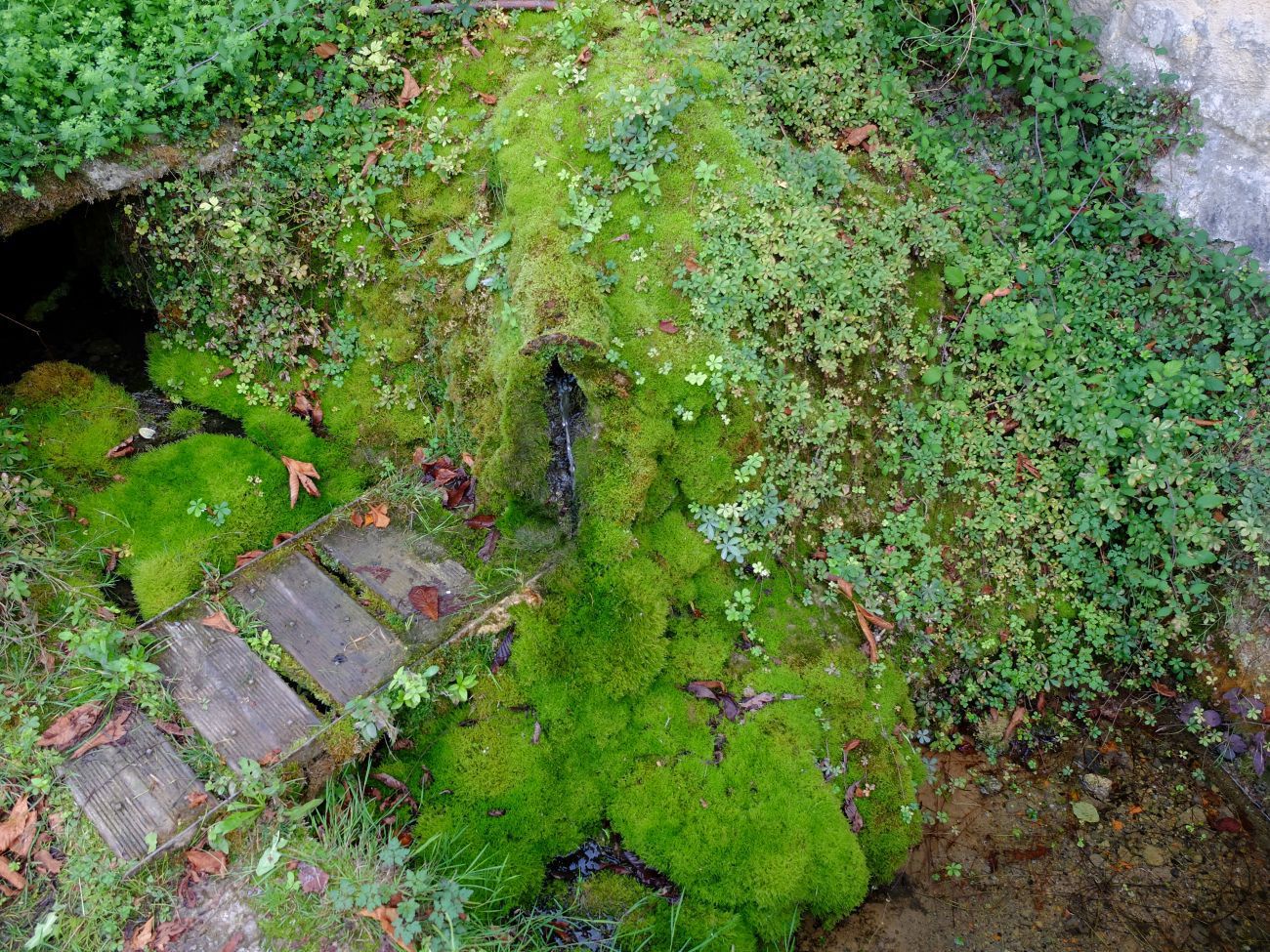
From the mill, follow the direction above the stadium. On this path, the water that gushes out at the foot of the Fond Vaysse cross had, according to the elders, virtues for the eyes.
Step 2: Bourg de La Rouquette
OTOA
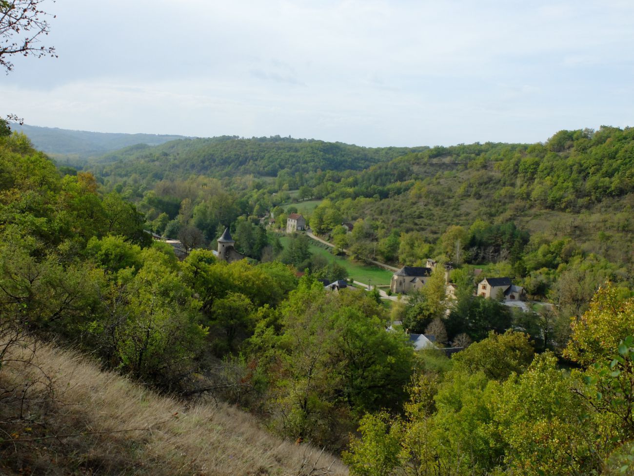
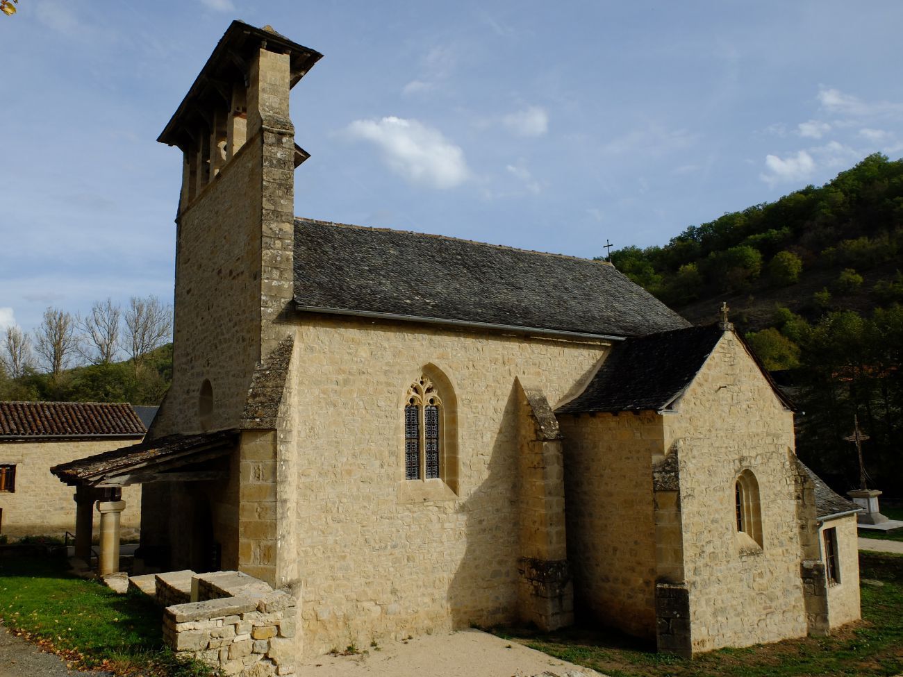
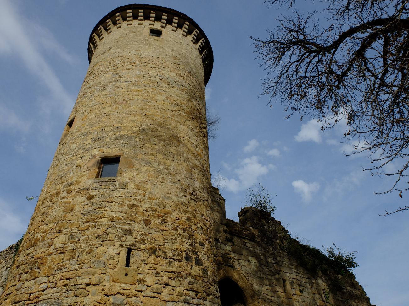
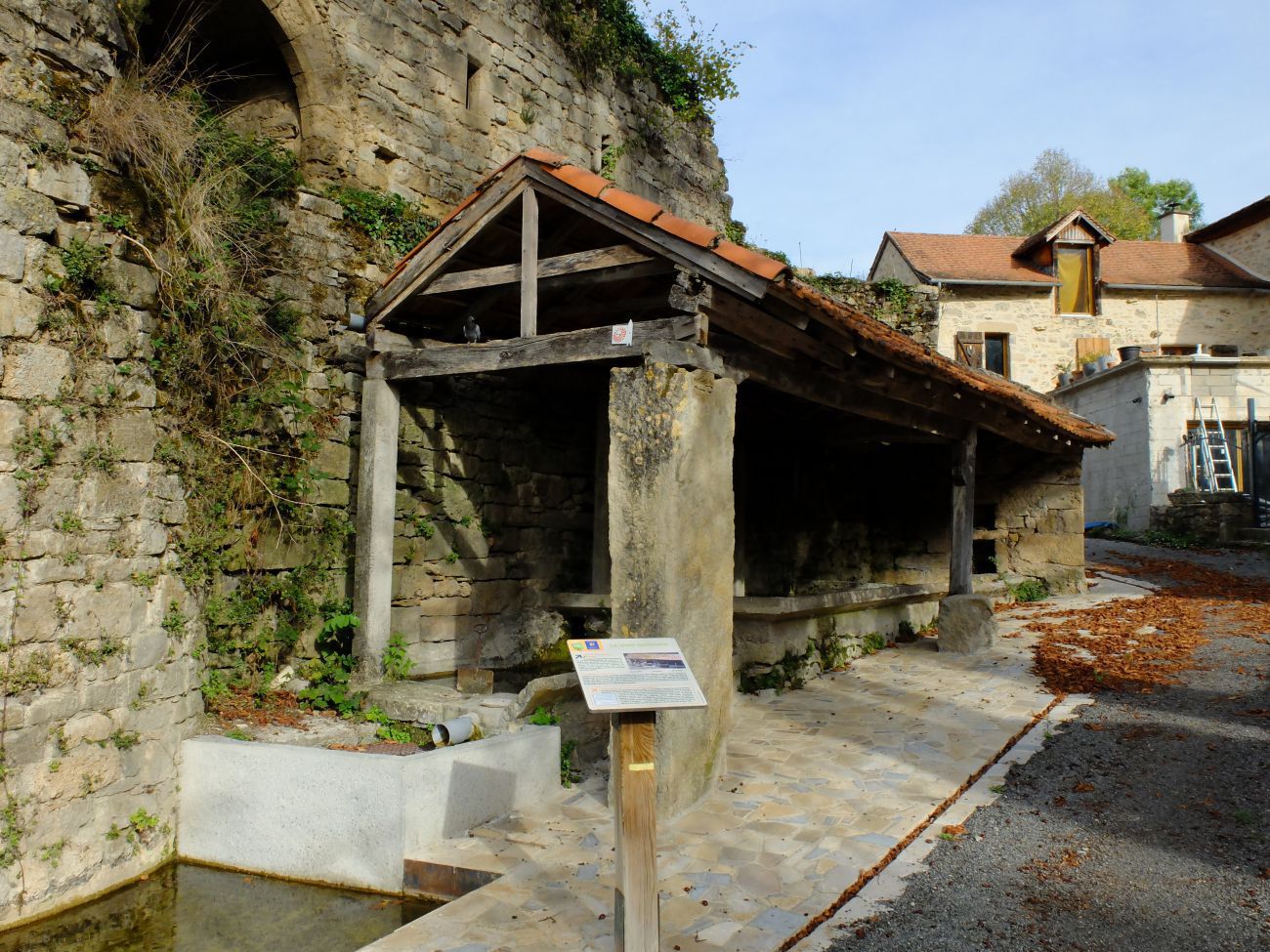
At 1 km, the village of La Rouquette allows the discovery of the built heritage. Contemporary constructions harmoniously rub shoulders with old buildings such as the tower of the castle which dominates the center of the village, a very well preserved adjoining washhouse and a 13th century church which recalls the passage of pilgrims to Santiago de Compostela through the shell. carved on its canopy pillar. Further on, on the Rentières site, the fish farming facilities on the Assou serve as a reminder of the importance and diversity of water use in the valley.
Step 3: Towards the hamlet of Mas de Jammes
OTOA
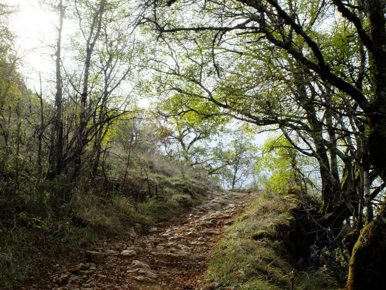
By the draille which goes up to the right of the cross, find the Puech Dubert where a small shaded path will lead you to the GR36 which leads to the hamlet of Mas de Jammes. The many bread ovens that are still there, essential links in the chain: eu-mill-flour-bread-life; testify to the importance of the activity of the time.