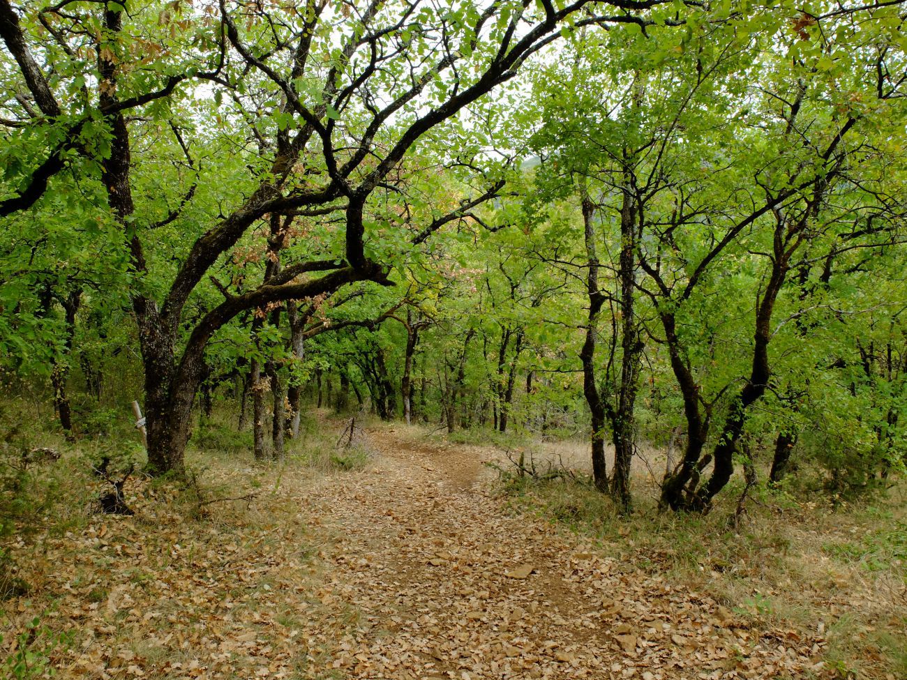
Go into the forest for a walk in the Causse. You will first walk along the pretty Assou stream before climbing uphill to enjoy a beautiful view and then descending on the paths of Saint Jacques de Compostela, also GR36.
Departure from the motorhome area. Cross the small cement bridge, then turn left at the cross. After the stadium, turn left. Follow the road along the stadium, then the river for about 300 meters. Pass between the houses. Continue on the path along the Assou River for about 1 km 300. You come to an old barn on your right. Follow the path on your right.
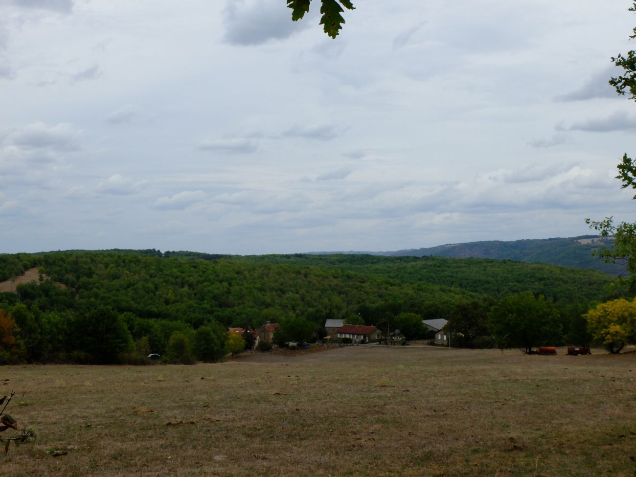
Step 2: Viewpoint over hamlets
OTOA
View of the hamlets of "La Grimaudie" and "Le mas de Laborie", part of the municipality of La Rouquette. On the left, you can see the Moulin de Court. At the crossroads of the four paths, take the path on the right. Arrival at a paved road. Take it for 150 meters, then turn right. Follow the very pleasant, shady path. View of the hamlet of "La Melle" on the left, and "Les Tempourets" on the right. Arrival at the paved road.
Step 3: The pointed hut
OTOA
Turn right following this road. Note, after the 2nd bend, on your left, a view of the bell tower and the castle of Sanvensa. At the end of the paved road, we notice a cross on the left. Take the path on your left for about 200 meters. Take on the left. 200 meters further, we pass near a caselle called "the pointed cabin". The very stony path descends towards the village and passes by the Dominican convent and the François Marty high school.