VILLEFRANCHE-DE-ROUERGUE
Balade du Calvaire – Villefranche-de-Rouergue
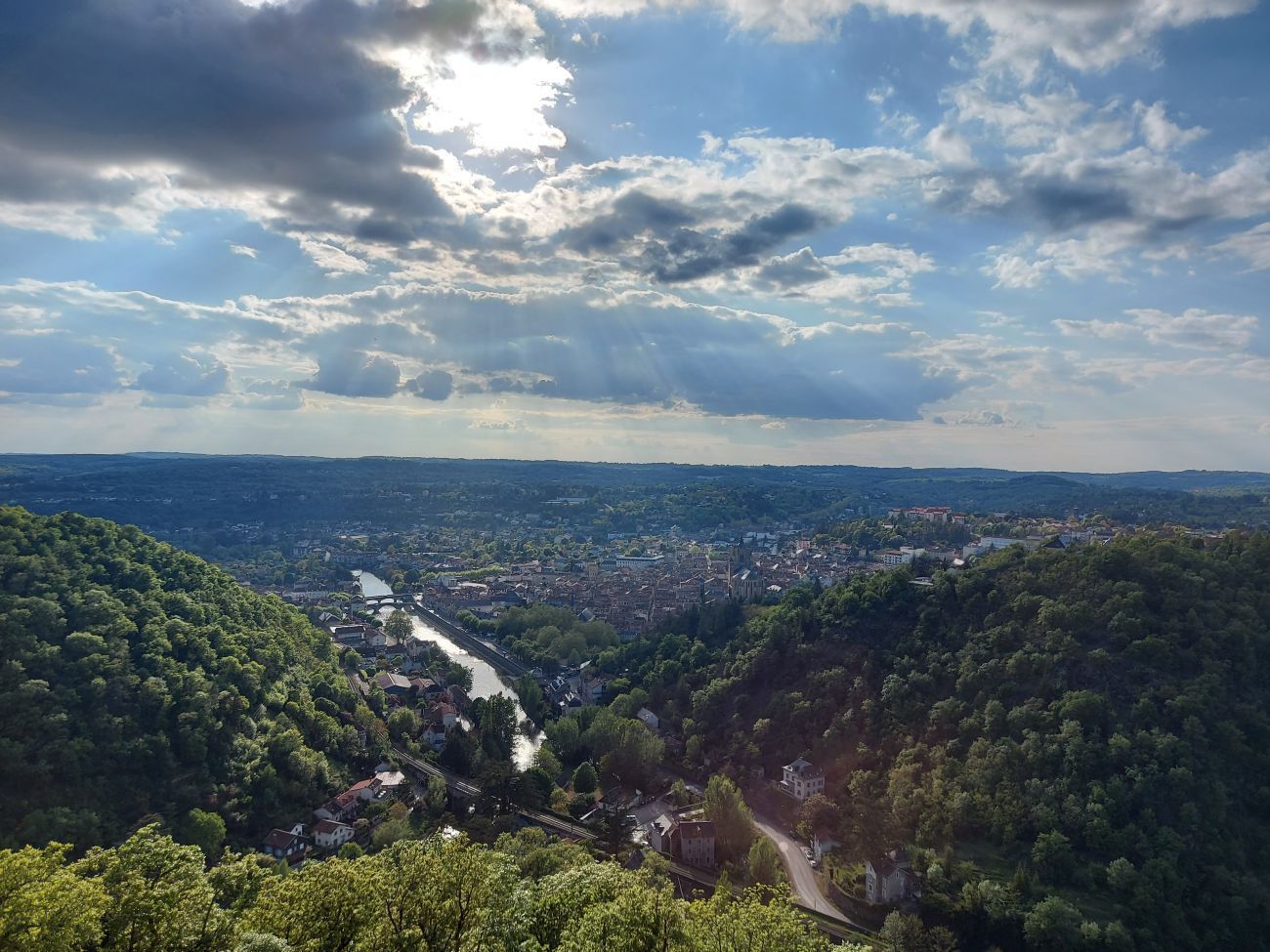
Going up to Calvaire, you will have a breathtaking view of the Bastide de Villefranche. You will be able to see the grid so specific to the bastides, and thanks to the orientation table, locate the various monuments of the city: Collegiate church, Chapel of the Black Penitents, Chartreuse St Sauveur,...


