Tour du lac de Morlhon – Morlhon-le-Haut
Route details
Description
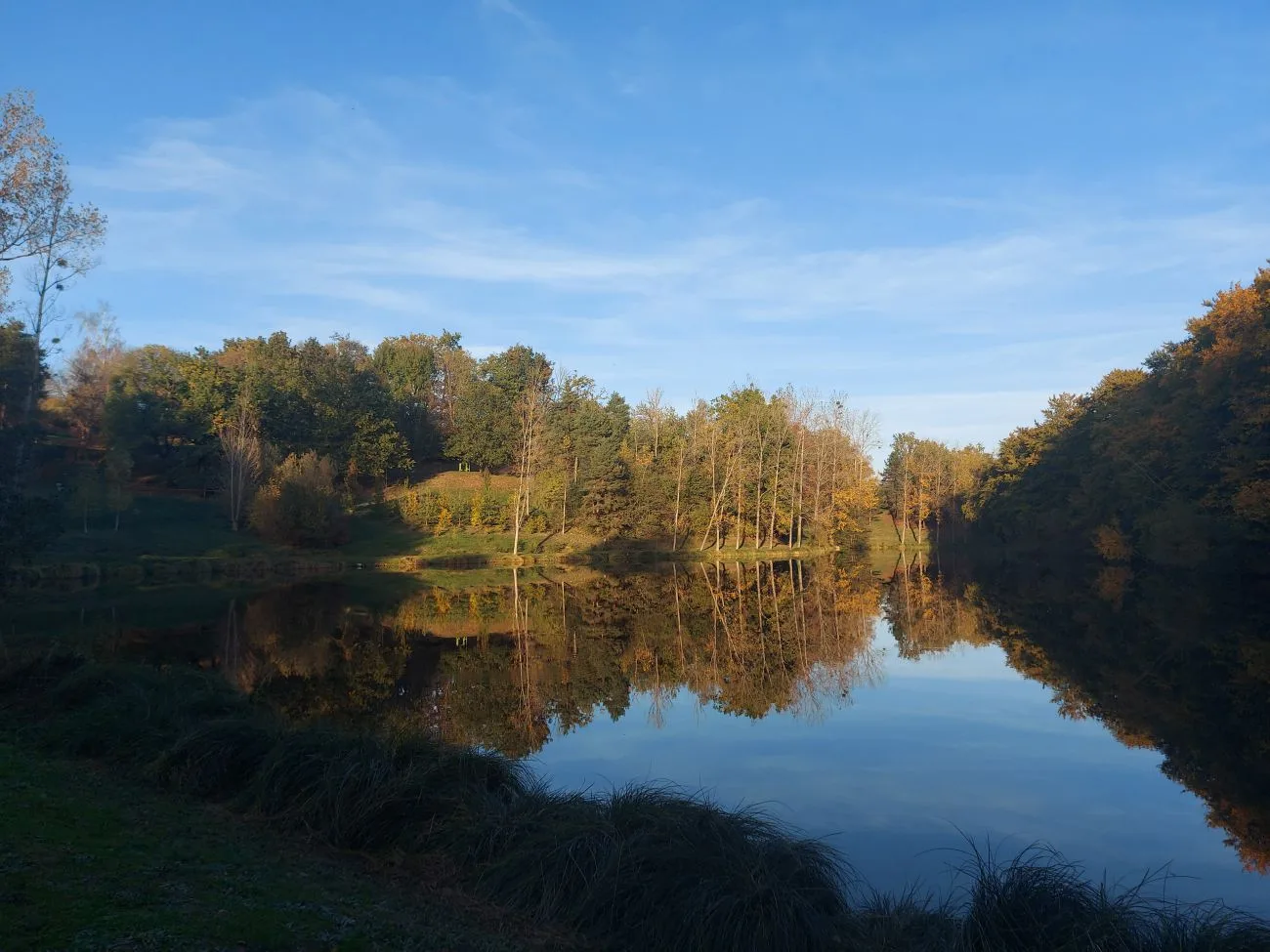
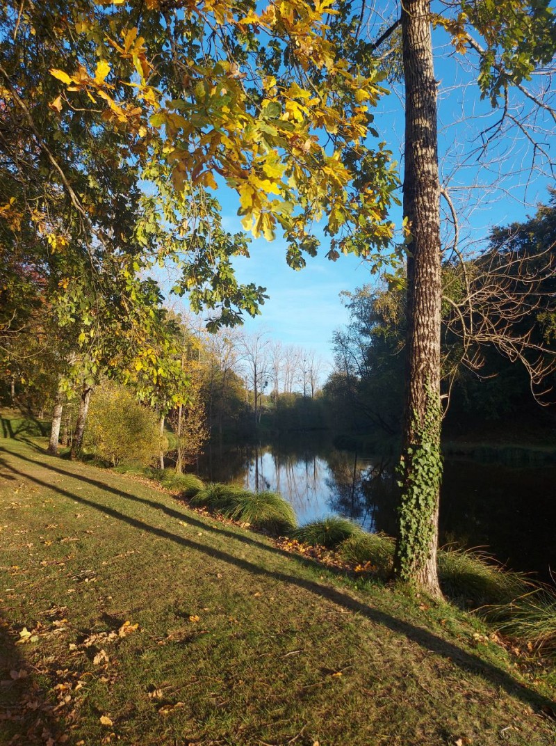
A short walk ideal for a Sunday with family or friends. You can also take advantage of the site for a small picnic by the water.
Your itinerary
Step 1: Parking next to the multisport field
OTOA
You can park your car next to the multisport field. Then go straight down to the lake and start walking around it. On the side, you can also use the weight machines available and the pétanque court.
Step 2: Fishing trip
OTOA
The lake is also ideal for fishing (2nd fish category) with your fishing license (compulsory, information from the AAPPMA of Villefranche-de-Rouergue). Two pontoons have been fitted out, one of which is suitable for people in wheelchairs.