Sentier botanique entre les deux moulins – La Rouquette
Route details
Description
You will find explanatory panels along the way detailing the different species present.
You can use the GPX track, the map, or the description provided. It is also marked with yellow badges (symbolizing a horizontal wooden wheel) and was created by the Moulin de Castel association in partnership with the town hall of La Rouquette.
Botanical path between the two mills – La Rouquette
Distance: 2,4 km
Max Altitude : 283 m
Your itinerary
Stage 1: Departure from the Castel mill

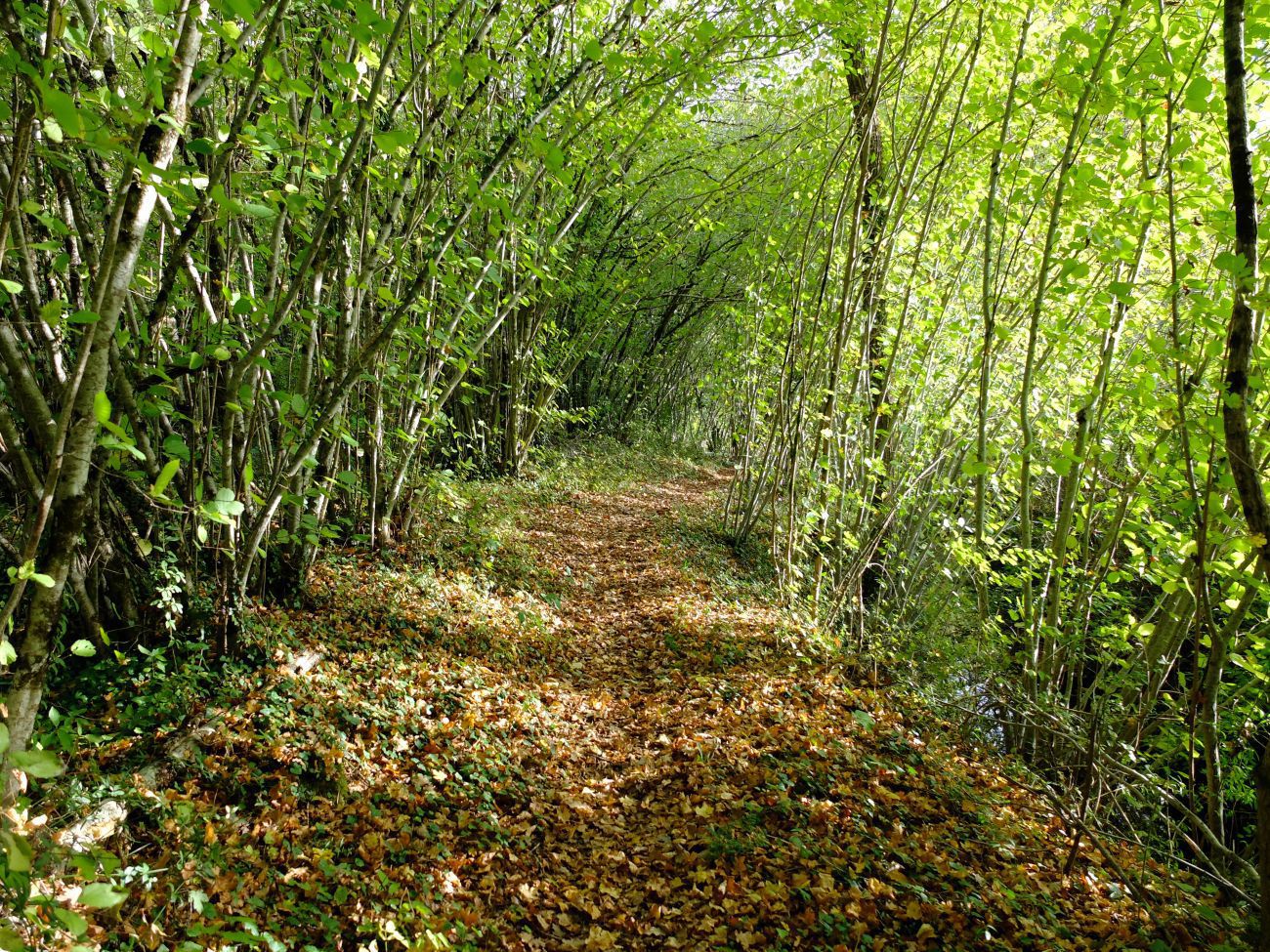
The departure takes place at the Moulin de Castel. This mill is part of a group of 14 mills along the Assou and Dassou streams. It operated until 1946. Take the path to the right of the mill then walk along the canal.
Stage 2: Towards the mill garden

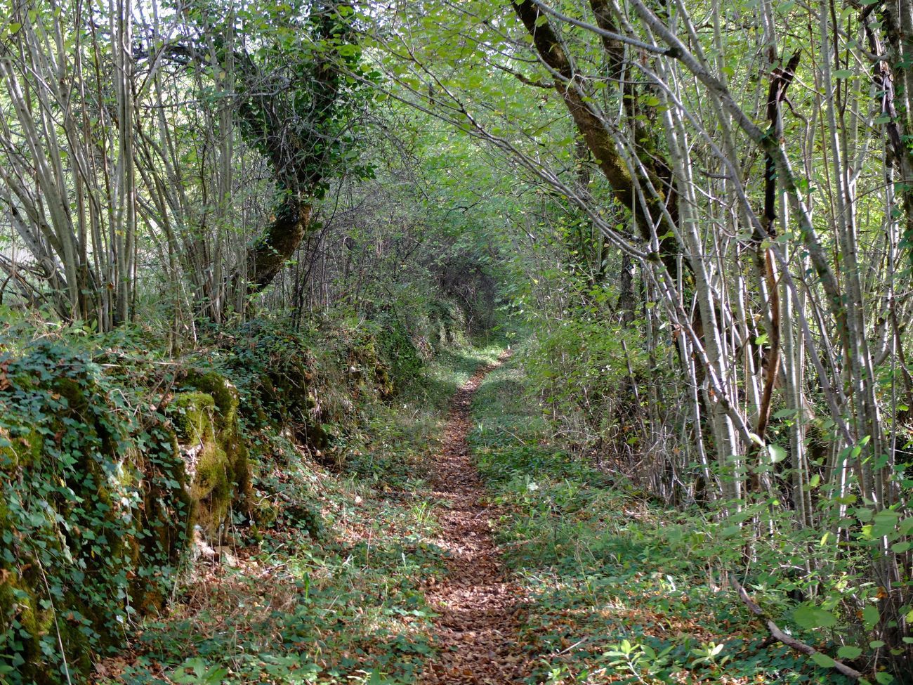
The path joins the D89. Take it to the left for about 300 m then take the first path on the left towards the garden of the mill. Then turn right towards the Moulin de la Paille. Cross the small bridge next to the house then take the path to the left behind it. You will continue straight on this path for 1km before arriving at the stadium then turn left to reach the start of the loop.
Castel Mill
Picnic area.
To discover nearby
- 632 D +
- -632D-
- 44,3 km
- NAJAC
- 1071 D +
- -1071D-
- 90,7 km
- VILLEFRANCHE-DE-ROUERGUE
- 26 D +
- -26D-
- 5,3 km
- VILLEFRANCHE-DE-ROUERGUE
Was this content useful to you?
Thank you
Thank you for taking the time to let us know that this content was helpful to you. Your encouragement is essential to us, and your feedback allows us to improve.
Thank you
Thank you for taking the time to let us know that this content was not helpful to you. We're sorry about that. In order to enable us to improve, can you tell us to what extent we can correct or complete the information provided?
Share this content
Share this content


