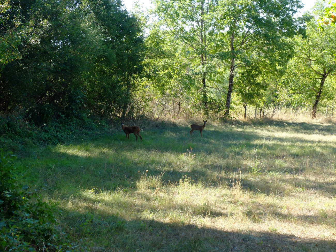
This circuit takes you through the beautiful heritage of Martiel including its washhouses, caselles, dovecotes, etc. You can take advantage of the section along the lake of Bannac to observe birds or have a picnic.
After several days of rain the edge of the lake can become very marshy, come well equipped!
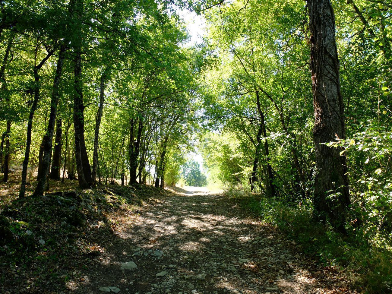
Starting point on the patus Martiellou (with a caselle and its shepherds) from the town center. Go down the heart of the village, pass in front of the church then take the alley on the left after the wells. At the bottom of the hill, cross the Miquélie bridge, turn right, join and cross the RD911. Immediately, take the slightly uphill path to the left. This dirt road runs parallel to the RD911. Follow it for about 2 km to its intersection with a small paved road.
Step 2: From hamlet to hamlet
OTOA
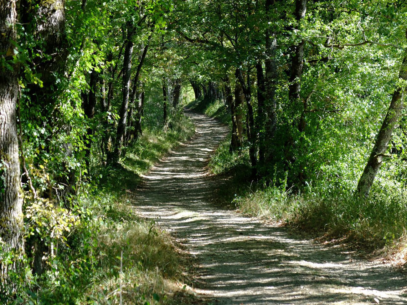
Turn left on this road. Drive about 30 meters then take the path to the right. At a place called Bessou, you will see a pretty old building. Continue straight ahead and pass close to a sawmill located in the hamlet of Alemands. At the various intersections in this hamlet, take the path straight ahead leading to the hamlet of L'Héritier. In the hamlet of L'Héritier, follow straight ahead at the various intersections. This path takes you to the village of Marroule. At the entrance to this village, turn left on the road joining the RD911. Cross the RD in the direction of the church, passing in front of a work for shoeing animals. At the level of the church, continue straight ahead then after 30 meters, turn right. 50 meters further, you enter a narrow dirt road in the shape of a plant tunnel. At the end of this path, take the path on the left towards the hamlet of Moutigues (municipality of Laramière). On your left, admire the beautiful frame of the mill and its reach. Just after this mill, turn left then follow the path straight to the first junction of the Bannac site.
Stage 3: Towards the hamlet of Fontaynous
OTOA
Take the path on the left that goes up to the campsite. At the top of this climb is an intersection of paths near the restaurant bar (open in the summer season). At this intersection, turn right on the path down to the lake. Go along the lake and continue to the hamlet of Fontaynous. Take the uphill road for about 150 meters then, at the cross, take the path to the right. On your right, you can see the very pretty building behind the hamlet of Fontaynous. Go up to the intersection with the paved road, turn left on it. Follow this road for 30 meters then take the first dirt road on your right, in the upper part of this road, you will have a dominant view of the northwestern part of the town. This path then approaches a descent leading to the artisanal zone of Miquélie. At the end of the dirt road, turn right (just before the artisanal zone) and cross the hamlet of Salelles. At the bottom of this hamlet, cross the bridge. At the exit of the bridge, make a round trip of 100 meters to discover the Miquélie washhouse. Take the paved road uphill towards the town. At the intersection with a Calvary, continue on this road going up in front of you for 200 meters then turn left on Chemin du Bournaguet. At the end of this path, you have arrived at the starting point of the circuit.