NAJAC
Balade du ruisseau de la Vernhe – Najac
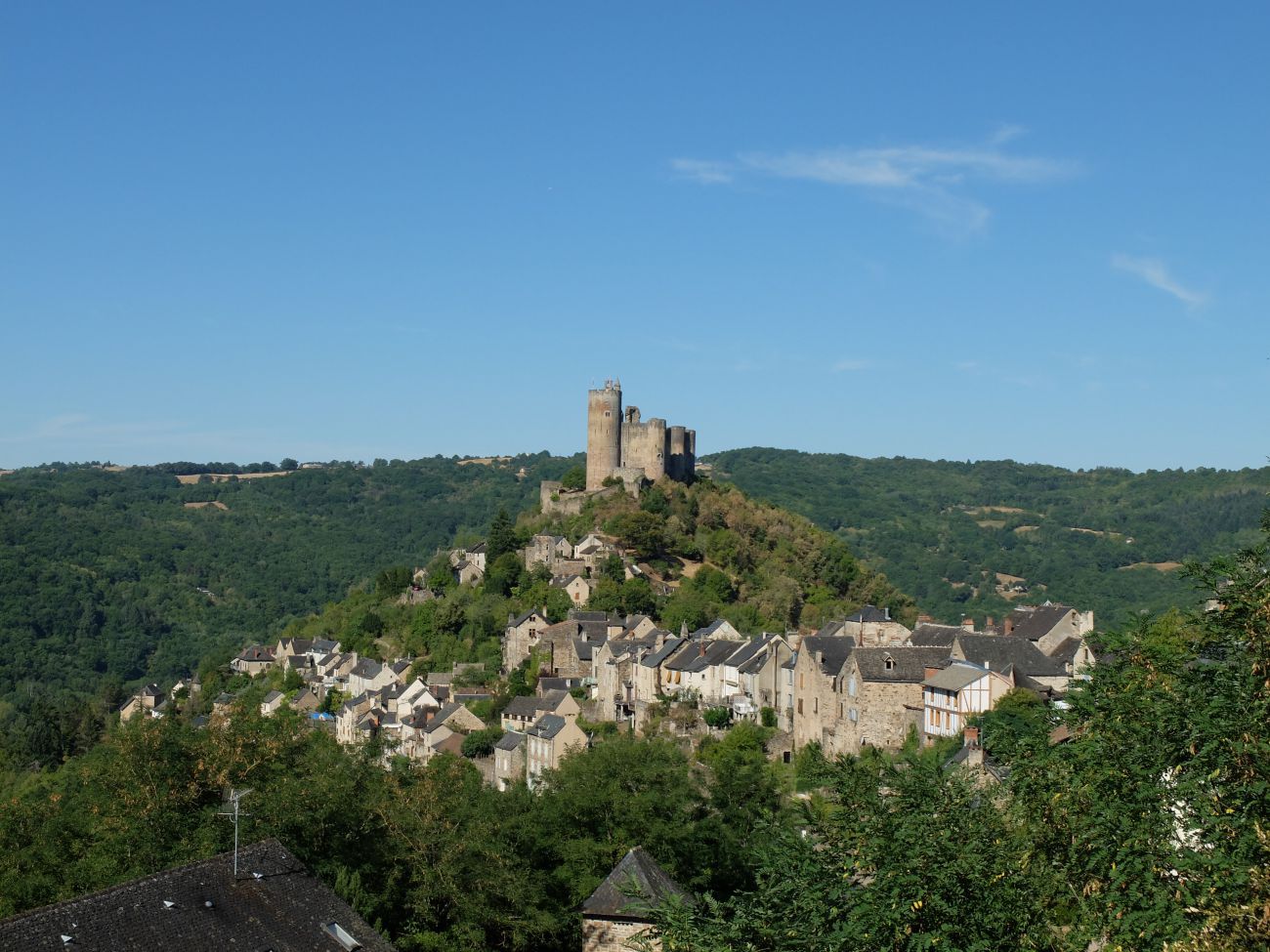
Follow the water, from the fountain of Gabanel to the Aveyron river to then go up and discover the most beautiful corners of the village of Najac.
Follow the water, from the fountain of Gabanel to the Aveyron river to then go up and discover the most beautiful corners of the village of Najac.
With your back to the tourist office, turn left then directly left to reach the stairs below. You take the walkway where you can enjoy a beautiful view of the fortress of Najac. You reach the rue de la loge which you turn right then left on the rue du Barriou towards the fortress. Just after the Tartines et Companies restaurant, take the stairs in the small alley on the left. then again the stairs on the left to arrive on the D39.
Cross the D39 and take the path down to the bridge and the Gabanel fountain. Cross the Vernhe stream then follow it on the path to the right. At the end of the path, turn right on the road for 1 km. After the treatment plant, take the Roman road which goes up to the village on your right.
Arrived at the D39, cross to join the rue de la Pause to the church. You can choose to stop at the fortress by a path on the left or go through the rue Haute Alphonse de Poitiers. At the Maison du Sénéchal, continue on rue du Château to the Maison du Gouverneur, then go up the street completely to the tourist office.
Search


