NAJAC
Vallée de la Jouyre, variante autour de Najac
Variant of the long circuit of the Jouyre valley. Countryside and forest landscapes as well as a magnificent view of the village of Najac
Variant of the long circuit of the Jouyre valley. Countryside and forest landscapes as well as a magnificent view of the village of Najac
Start of the hike opposite the entrance to Camping le Païsserrou, on the bottom of Najac. Possibility to park 200 meters further in the parking lot of the outdoor base (AAGAC).
Descend towards the river for 150 meters along the D39 then cross the Frégère bridge. Take the path that descends to the left at the exit of the bridge.
Along the Aveyron to the municipal swimming pool. Continue along the river on the road to the St Blaise bridge.
Do not cross the bridge, take the small road on the right which goes up towards Les Fieys for 200 metres.
Take the wide path to the right. Stay on this path for 2,5 km to the road (a place called La Crouzille).
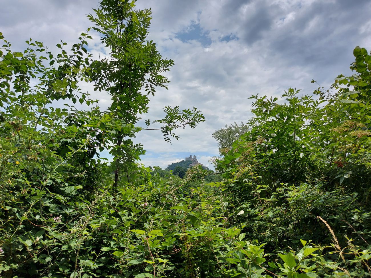
Take the D564 which climbs towards Villevayre for 200 meters then take the path on the right which leads to one of the most beautiful viewpoints over Najac!
Continue the path until you rejoin the D564 and then take the latter for 1,5 km. Arrived at the crossroads, turn right onto the D47 towards Monteils/Najac.
On the way, don't miss the very beautiful view of Najac (on your right at the Najac sign). At a place called "le Ligal" (large isolated house on the left side of the road), turn right on the forest track which descends towards Najac.
Follow the markings all along the forest track which leads you to the road. Turn left as far as the St Blaise bridge, then turn sharp left to follow the river on the way back to your starting point.
Return to the entrance of Le Païsserrou campsite
Search


